Page 1 of 4
Trans-Mississippi Map Pack
Posted: Fri Jul 20, 2012 9:05 am
by 2nd Texas Infantry
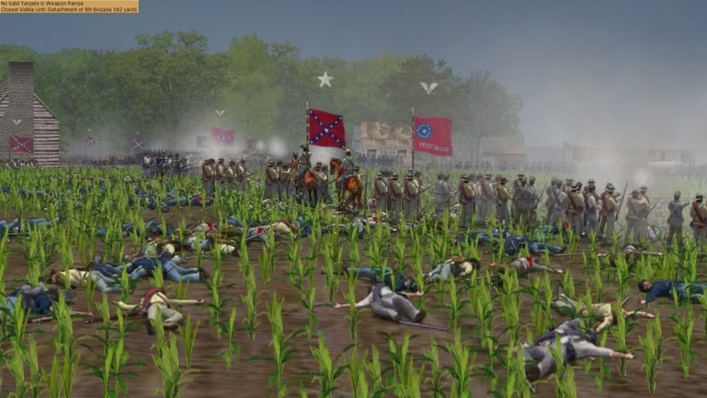
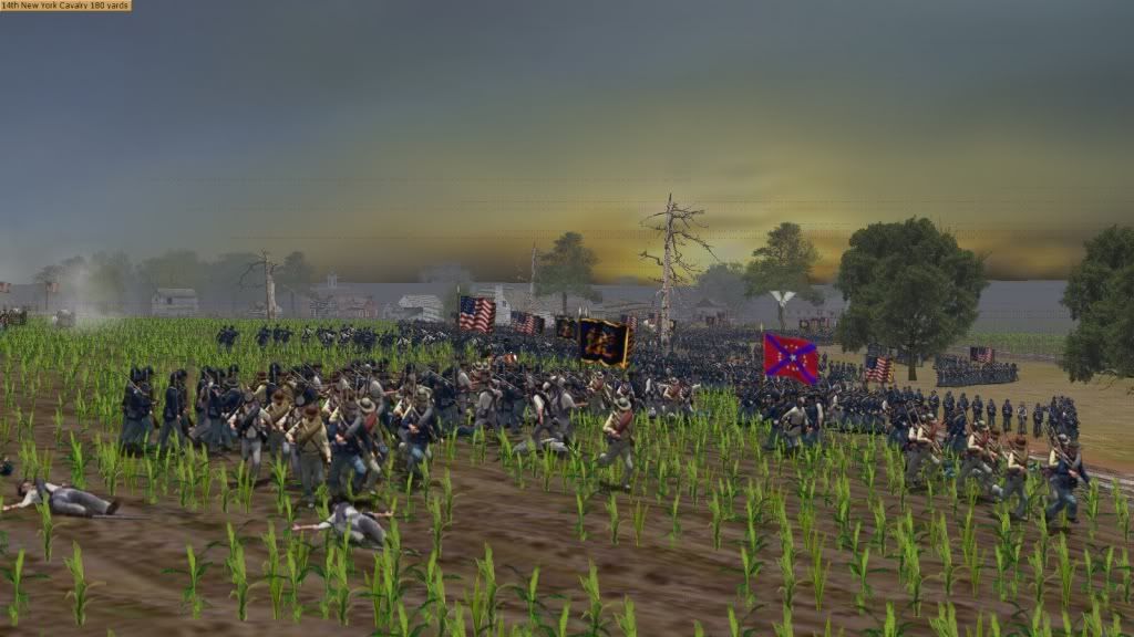
Guys, I am sorry that I was unable to get out the 4 Red River Maps before I was asked to help create the next expansion. As a result it will be a Trans-Mississippi Campaign map pack to include Wilson's Creek, Pea Ridge, Prairie Grove, Mansfield, Pleasant Hill, Yellow Bayou, and Jenkins' Ferry. All the maps have been completed minus Wilson's Creek. But the other 6 are in the bag and revamped. I wanted to post some updated pics of Prairie Grove, Mansfield, and Pleasant Hill though. Enjoy and recomendations are welcome.
And it will all be free!!!!!!!!
Prairie Grove Arkansas Dec 7th 1862
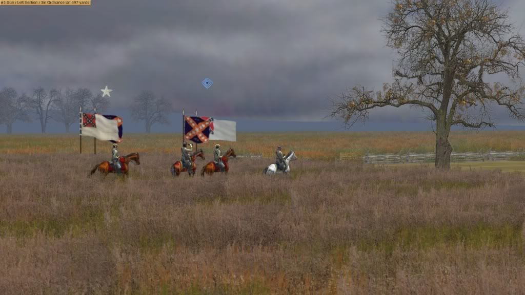
Prairie Grove Arkanasas Dec 7th 1862
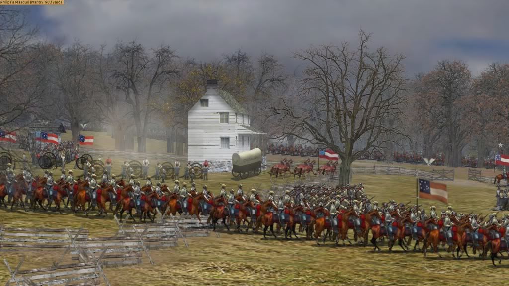
Prairie Grove Arkansas Dec 7th 1862
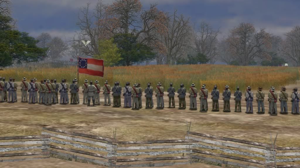
Prairie Grove Arkansas Dec 7th 1862
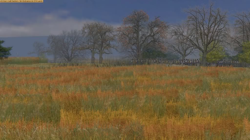
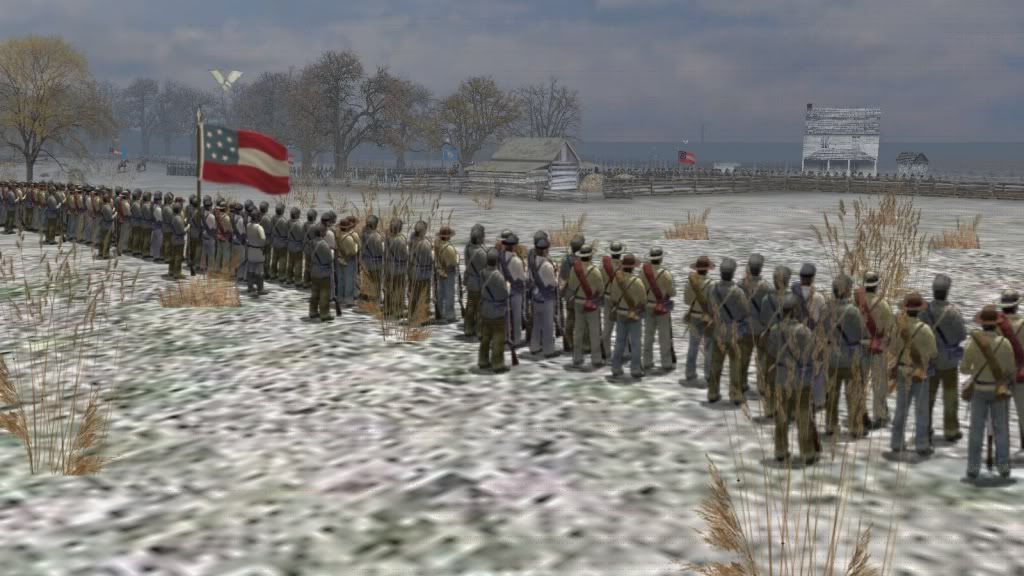
Pea Ridge March 7th Morning
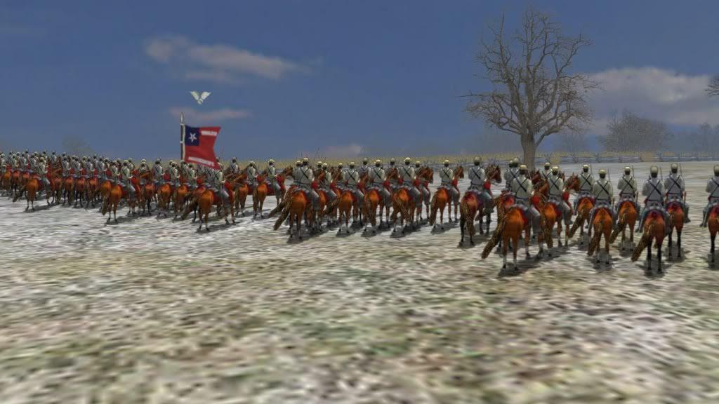
Pea Ridge March 7th Morning
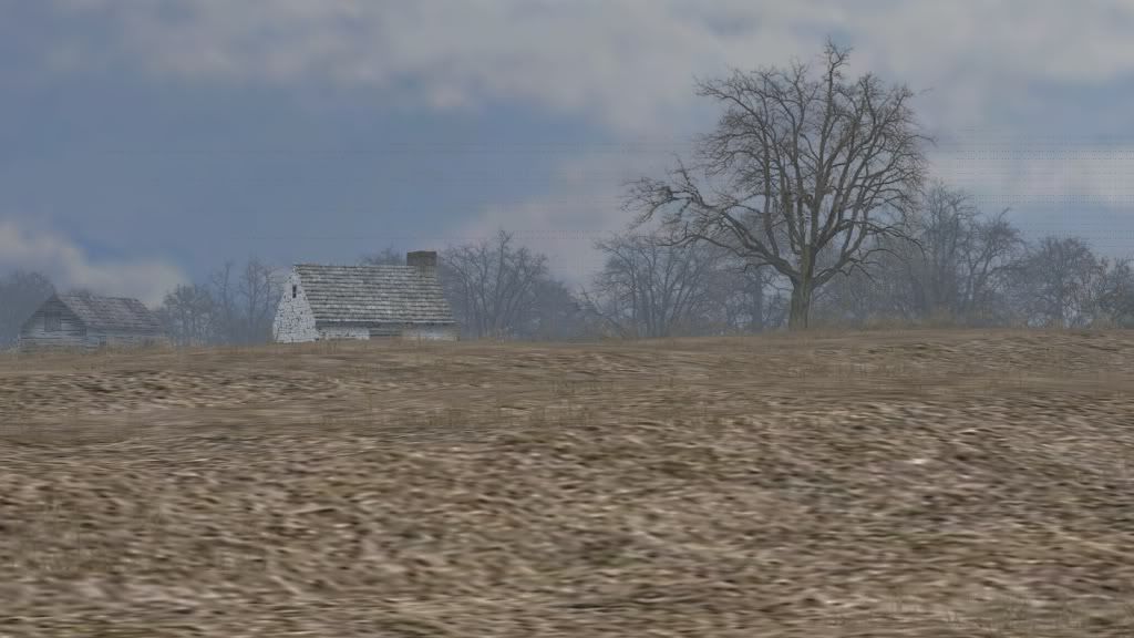
Pea Ridge March 7th Morning
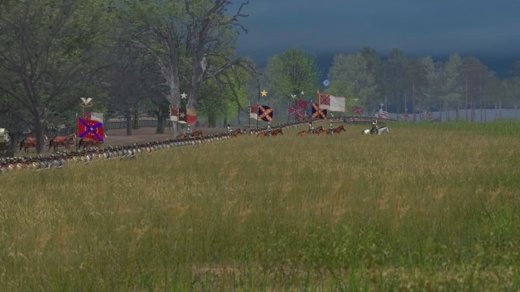
Mansfield Louisiana April 8th 1864
Pleasant Hill Louisiana April 9th 1864
Pleasant Hill Louisiana April 9th 1864 (dusk)
Re: Trans-Mississippi Map Pack
Posted: Fri Jul 20, 2012 9:27 am
by Crikey
Beautiful. Absolutely beautiful. B)
Re: Trans-Mississippi Map Pack
Posted: Fri Jul 20, 2012 9:39 am
by 2nd Texas Infantry
Sorry, added some Pea Ridge pics if no one remembers the thread from a couple months ago.
Thanks Crikey, You helped me learn how to do all this (literally). If it wasnt for you and Davinci, I wouldn't be making maps. Something I will never forget.
Re: Trans-Mississippi Map Pack
Posted: Fri Jul 20, 2012 1:14 pm
by Petrus58
Absolutely beautiful - can't wait!
Re: Trans-Mississippi Map Pack
Posted: Fri Jul 20, 2012 3:34 pm
by Saddletank
These are just stunning maps, stunning. The winter trees look so good they could be real and the more detailed ground textures are excellent.
You know what is looking like the weak point in some of those pics?
The troop sprites.
The artwork of the map makers now has moved on so far that the next visual upgrade needs to be applied to the texture files of the troops themselves. We could use more variations in troops and crisper sprites (larger base images). How they 'sit' on the ground could be improved too (the limbered and unlimbdered gun teams are the worst culprit here).
As to these add-ons - spectacular. Thanks.
Re: Trans-Mississippi Map Pack
Posted: Fri Jul 20, 2012 3:45 pm
by Amish John
There are some very talented and dedicated people on this site. Much appreciated for all your hard work. Can't wait to try them out.
Re: Trans-Mississippi Map Pack
Posted: Mon Jul 23, 2012 5:18 am
by cliometrician
(sorry-double post)
Re: Trans-Mississippi Map Pack
Posted: Mon Jul 23, 2012 5:19 am
by cliometrician
In the first pic that looks like the Second National Flag ("Stainless Banner"), but it was not approved until May of 1863 and the date of the battle is December of '62. Then again, I might be mistaken about the flag in the photo.
Stunningly beautiful artwork.
Re: Trans-Mississippi Map Pack
Posted: Mon Jul 23, 2012 7:59 am
by RebBugler
In the first pic that looks like the Second National Flag ("Stainless Banner"), but it was not approved until May of 1863 and the date of the battle is December of '62. Then again, I might be mistaken about the flag in the photo.
You are correct, the stainless flags are built for the Red River Campaign, 1864. You will not see them in Pea Ridge...Texas is just showing off my flags...Thanks Tex.

Re: Trans-Mississippi Map Pack
Posted: Mon Aug 06, 2012 3:07 pm
by garyknowz
Don Troiani couldn't have produced more gorgeous images. Absolutely stunning!


