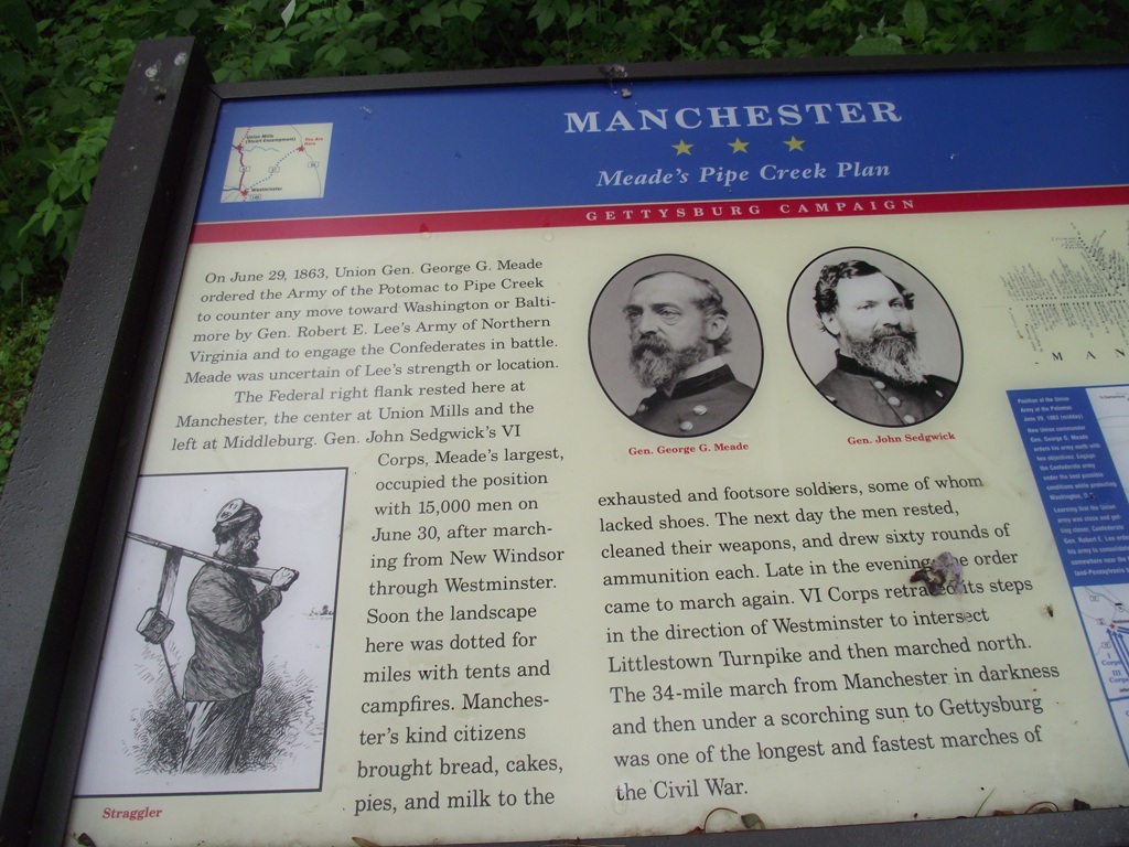
Pipe Creek Screenshots - Campared to actual photos
Posted: Tue Sep 06, 2011 1:45 am
While we were doing research for Pipe Creek, Dave (one of our testers) took some shots of the area to compare to the NSD maps 1 and 3. As you can see little has changed from the 1800's. Enjoy.
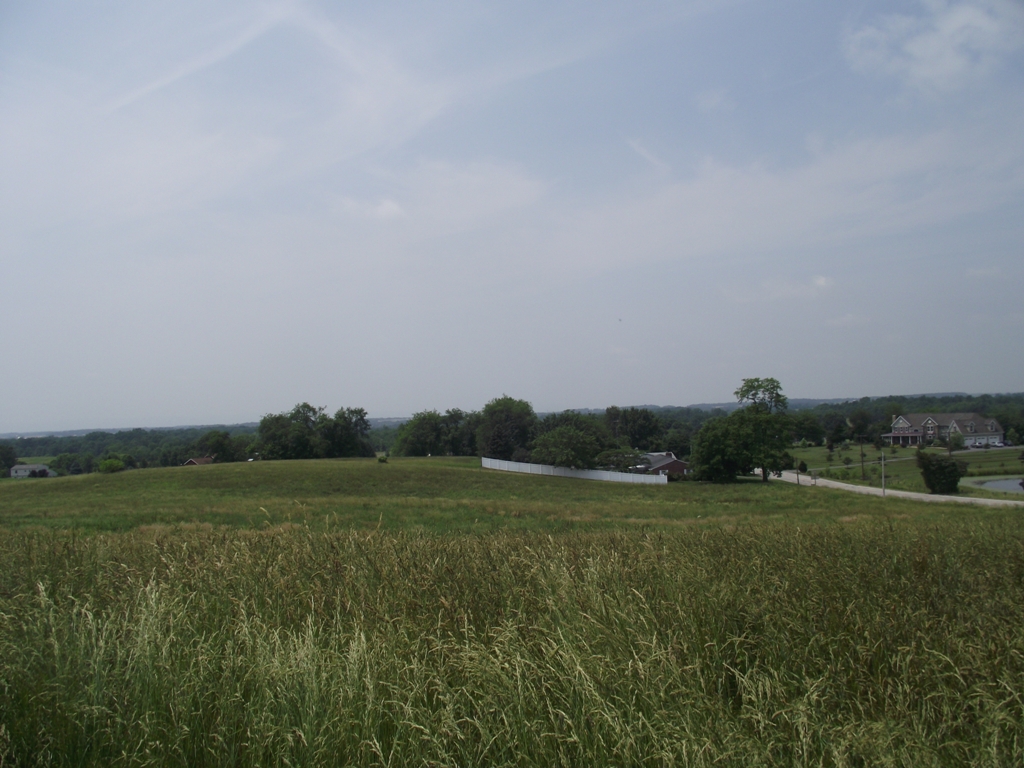
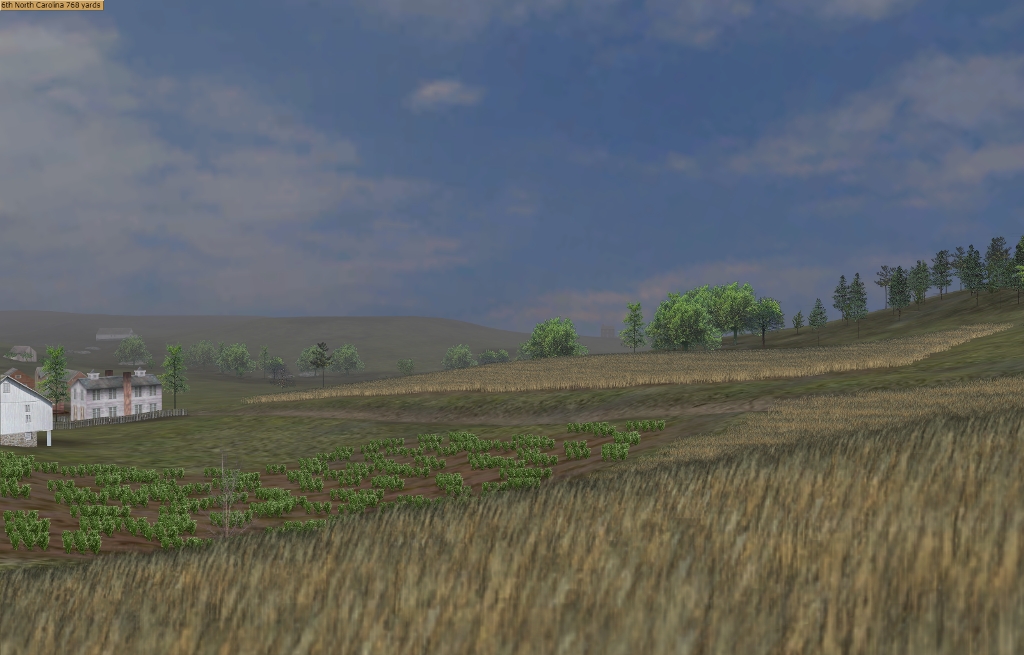
Pipe Creek Map 1 From Clear View Rd. Looking North towards Reb advance. Old Taneytown Rd. on the right:
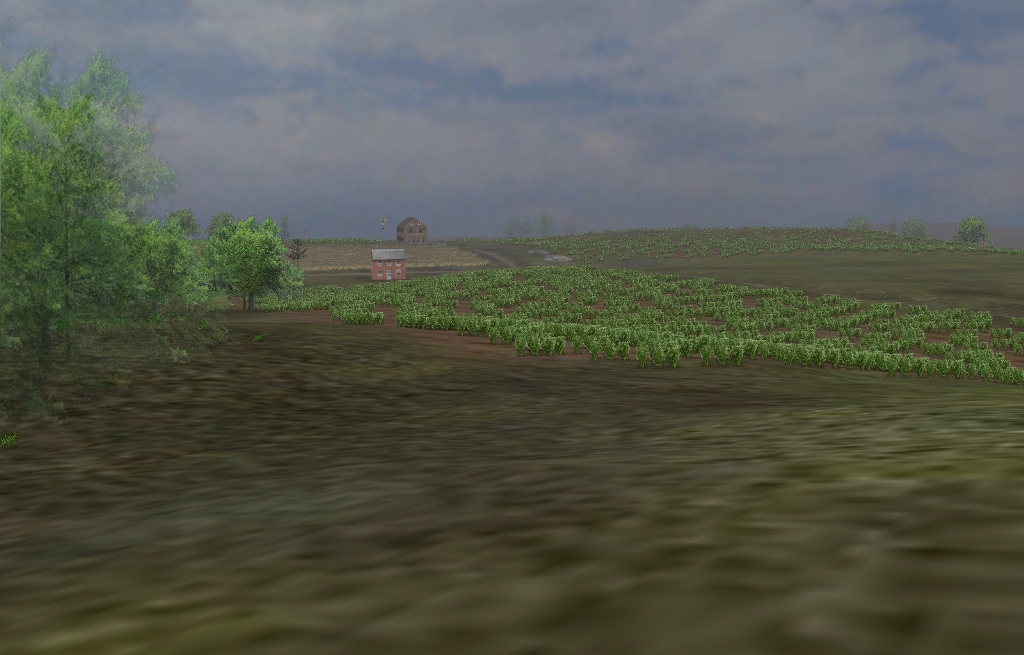
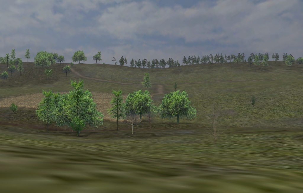
Pipe Creek Map 3. Looking North from Ebbvale Rd. Hanover Pike on the right towards Reb advance.
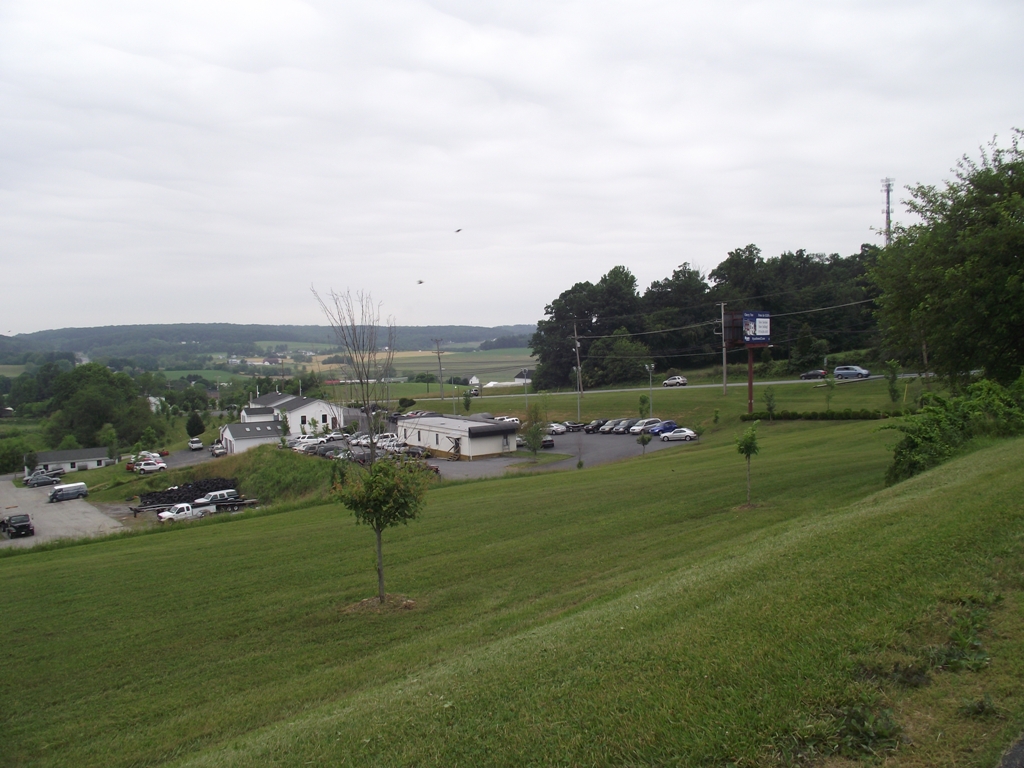
Here's a photo I found of Dug Hill online. Dug Hill is on the far left flank of the Union line on map 3. Sorry for the small size.

Pipe Creek Map 1 From Clear View Rd. Looking North towards Reb advance. Old Taneytown Rd. on the right:
Pipe Creek Map 3. Looking North from Ebbvale Rd. Hanover Pike on the right towards Reb advance.
Here's a photo I found of Dug Hill online. Dug Hill is on the far left flank of the Union line on map 3. Sorry for the small size.